
Realizing the promise of good ideas.
A payload for every purpose.
If it exists, you can improve it.
If it doesn’t, we can help.
Consulting
Assessment
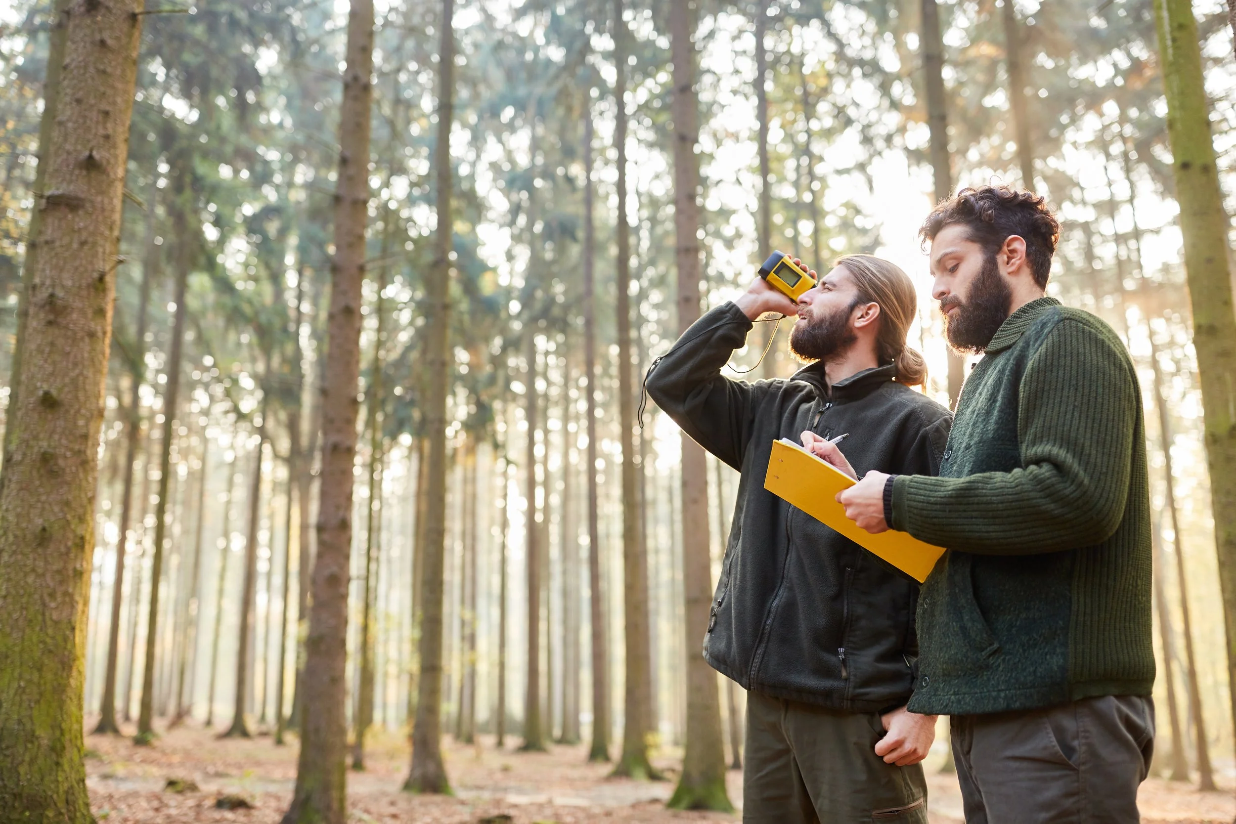
A comprehensive assessment identifies key challenges and opportunities, through literature review, survey and semi-structured interview. This foundation powers contextual awareness, setting the stage for analysis.

Analysis
Analyzing data collected during the assessment uncovers trends and debunks assumptions. Insights gained from this phase inform strategic recommendations and consequent steps in the collaborative journey.
Strategy
Developing an action plan to address a specific challenge requires clear, actionable metrics. Strategic recommendations are grounded in insights from the analysis phase, ensuring they are practical and impactful.
Optimization
Optimization focuses on implementing the strategic plan and continuously improving processes and systems. Fostering a culture of continuous improvement adapts to changing conditions.
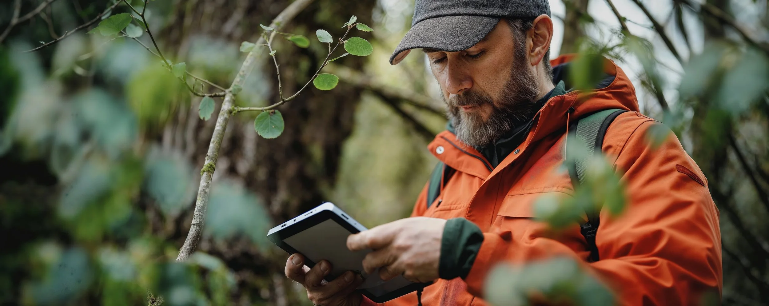
Research & Development
Design Thinking
We deploy Design Thinking (recursive and time-tested design process) to move nimbly between design sprints, emphasizing minimally viable products.

Ideation
Sparking creativity and fueling new project development, this generative phase amplifies ideas and possible solutions.

Inspiration
Looking to nature and analogous examples of the desired outcome helps to generate novel solutions to seemingly intractable problems.

Implementation
Prototyping, testing, and refining solutions ensure they are practical, effective, and ready for deployment, pushing a proof of concept to achieve desired impact.

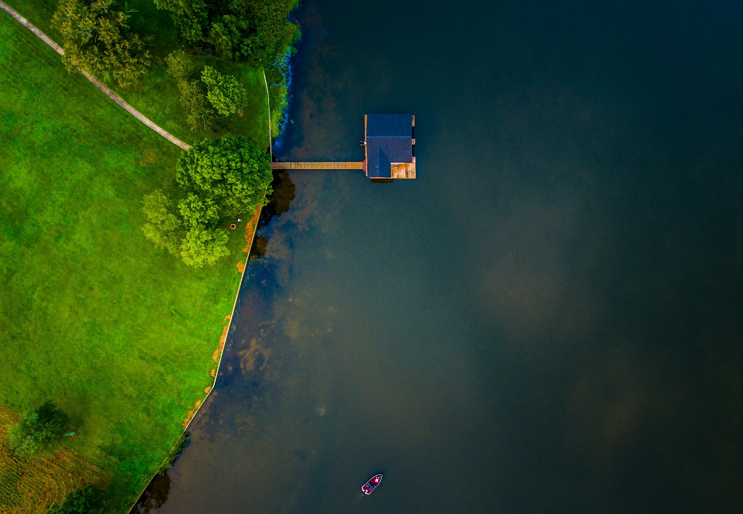
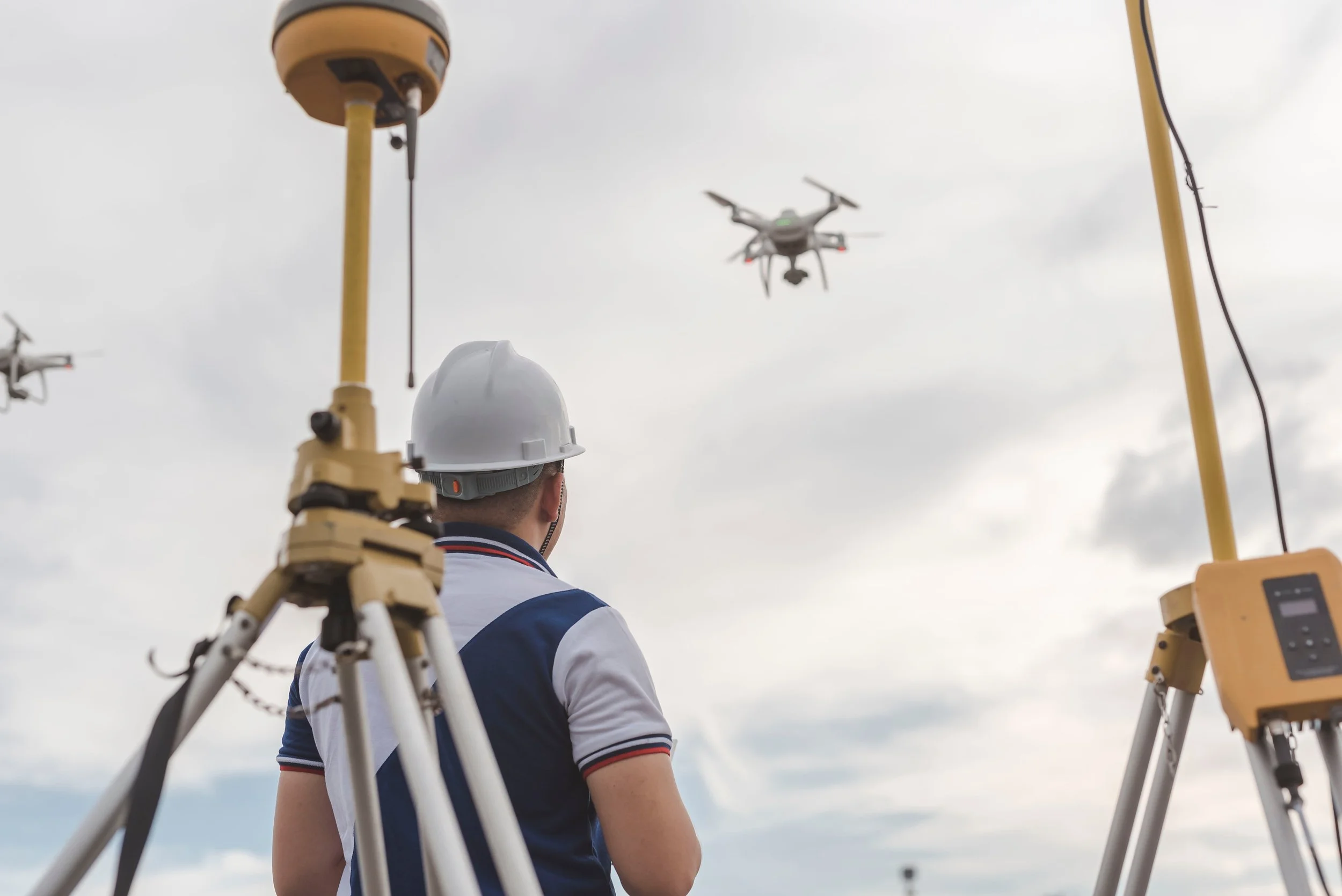
Ecosystem Drone Survey
Real-Time Kinematics (RTK)
Real-Time Kinematics enhances precision in location data, enabling pinpoint accuracy for aerial surveys and mapping, ensuring every detail is captured with the utmost precision.
Orthomosaics
Orthomosaics stitch together hundreds of aerial photographs into a single, seamless image, providing a comprehensive and detailed view of vast areas.

Aerial LiDAR
Aerial LiDAR penetrates vegetation to reveal the contours of the earth below, offering an unparalleled understanding of the terrain.

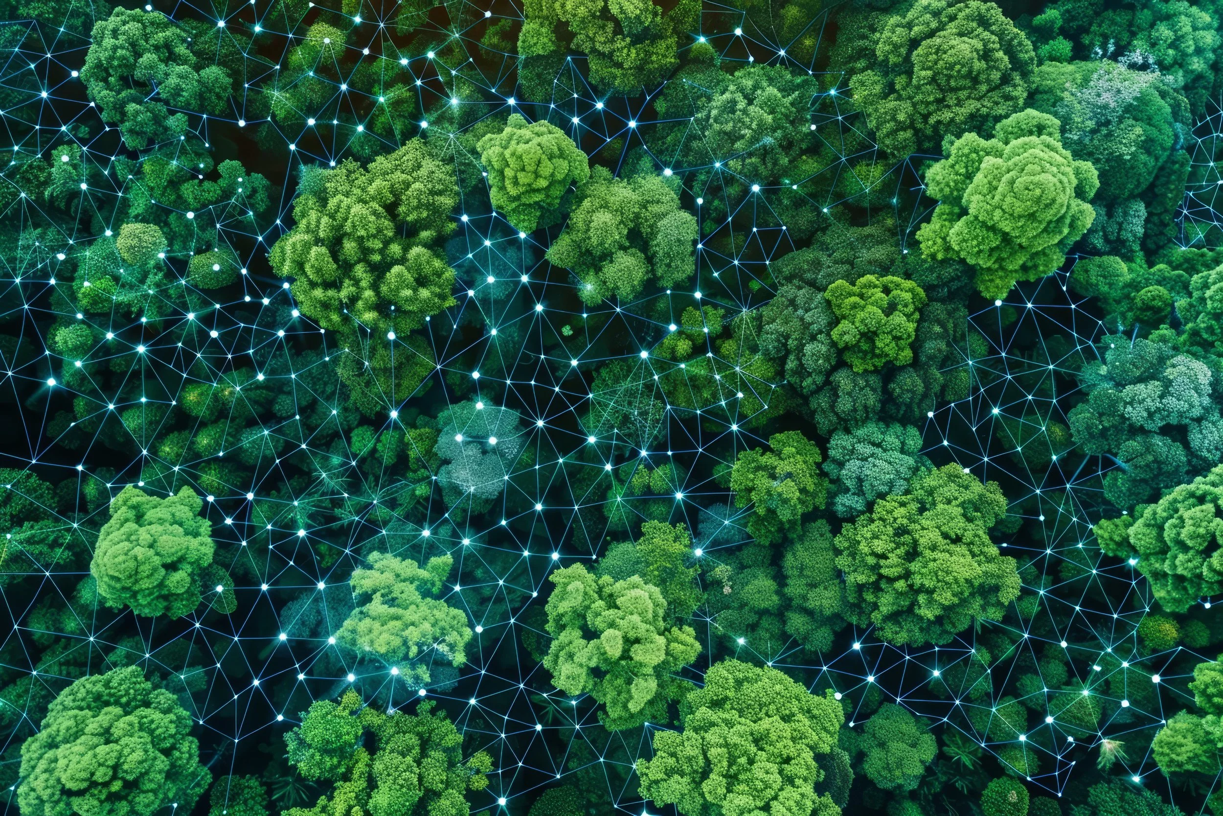
Rapid reporting
Transform aerial data into actionable insights in record time, streamlining the data analysis process across businesses and organizations.
